Zoom Earth
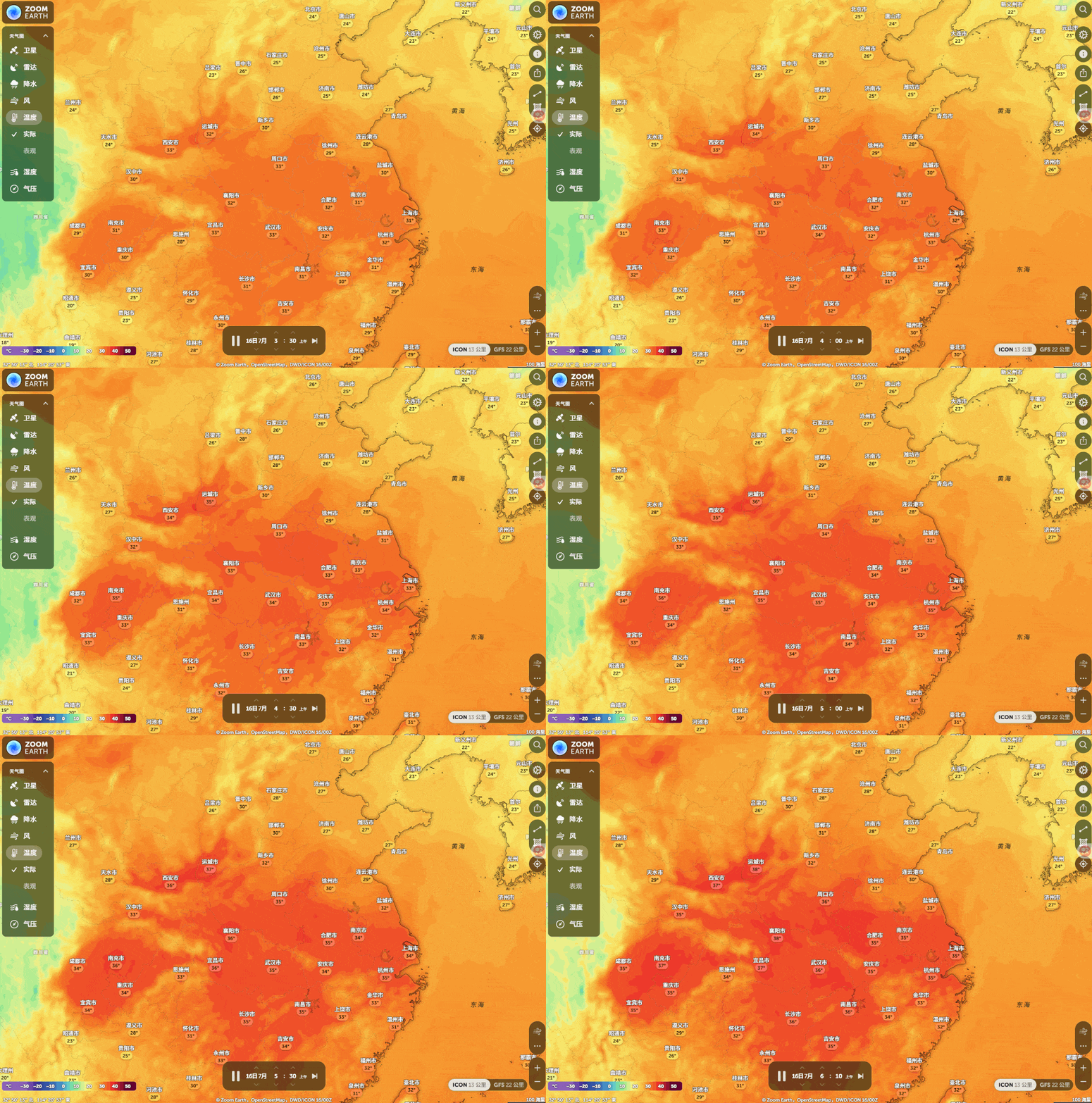
Recently, the weather in Zhengzhou has been absolutely unbearably hot. On the 16th, the maximum temperature reached 44 degrees Celsius! I’d like to share with you a map platform that allows you to observe the weather around the world. It’s called Zoom Earth. Zoom Earth is an interactive tool developed by Neave Interactive.
Introduction
Recently, the weather in Zhengzhou has been absolutely unbearable – on the 16th, the highest temperature reached 44 degrees Celsius! I’d like to share with you a map platform that allows you to observe the weather around the world. It’s called Zoom Earth.
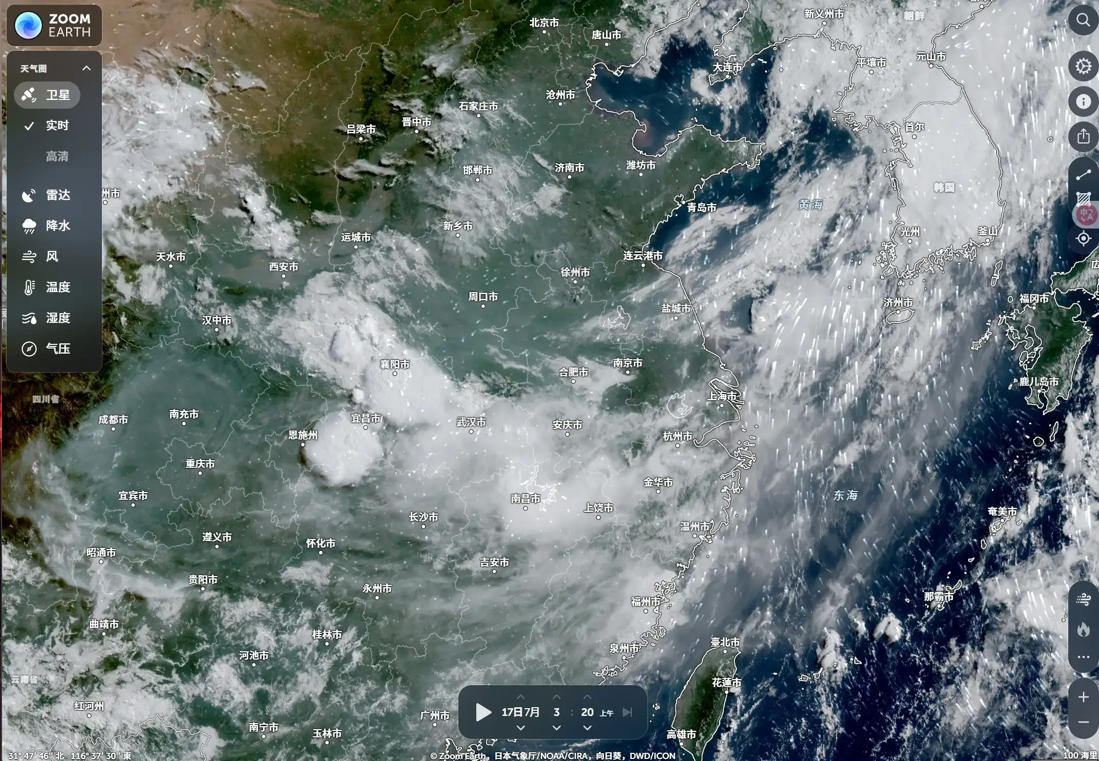
Zoom Earth was developed by...Neave InteractiveThe developed interactive world weather map platform integrates satellite and meteorological data from authoritative organizations such as NOAA, NASA, and JMA, providing nearly real-time monitoring of global weather conditions. This includes information on precipitation, wind speed, gusts, temperature (at a height of 2 meters above the ground), perceived temperature, dew point, and more.20 parameters in totalThe predicted map.
Product features
- Real-time satellite cloud images and radar data
- Frequent updatesEarth-based geostationary satellite images are refreshed every 10 minutes (with a delay of 20–40 minutes), while high-resolution images from NASA’s polar orbit satellites are updated twice daily.
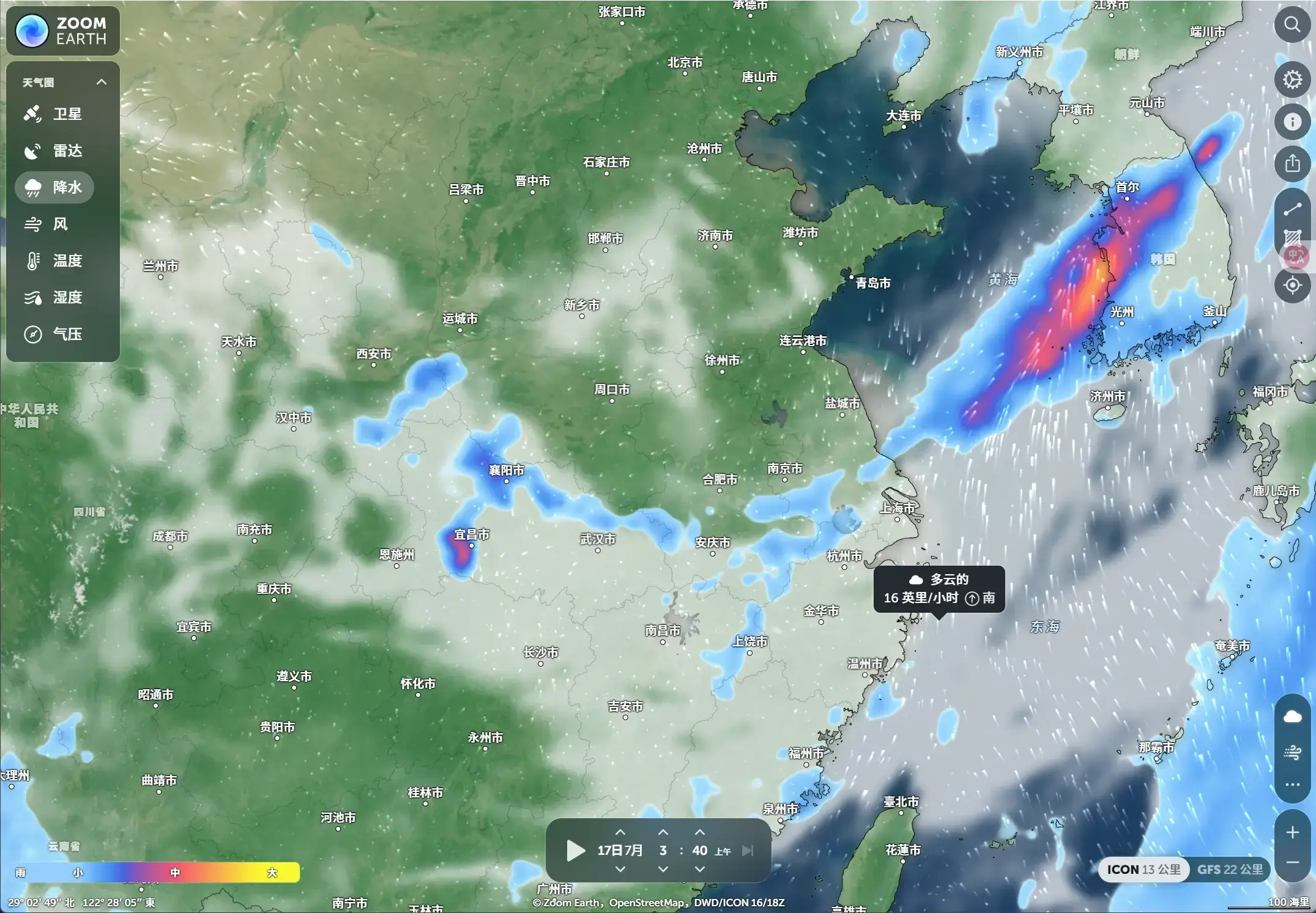
- precipitation radarBy integrating ground-based Doppler radar data, it is possible to display the distribution of rain and snow in real time and provide short-term forecasts for the next few hours.
- Extreme Weather Tracking
- Hurricane/Typhoon TrackIntegrates data from institutions such as the NHC and JTWC to provide real-time updates on storm intensity and movement trajectories.
- Wildfire monitoringFire outbreaks are detected using the data from NASA’s FIRMS satellite, with the dynamics of smoke dispersion also being taken into account.
- Multidimensional weather forecasting
- Information on precipitation, wind speed, gusts, temperature (at a height of 2 meters above the ground), perceived temperature, dew point, and more is provided.20 parameters in totalThe forecast map is based on data sourced from …DWD ICONandNOAA GFSModel.
- Supported72-Hour Path Probability PredictionAs well as historical data retrieval (up to 7 days ago), it is ideal for scientific research and analysis. 710.
- Interactive layers and customization
- It allows for the free combination of layers such as radar data, wind maps, and thermal charts, and supports changes in units (e.g., °C/°F) as well as adjustments to time zones.
- Precise geographic coordinate positioning, allowing you to save frequently-used locations.