Alibaba Cloud Map Selector
DataV.GeoAtlas „DataV.GeoAtlas“ is a geographical tool launched by Alibaba Cloud. It allows users to select areas, generate boundaries, and create hierarchical structures. The range selector enables precise selection at the district or county level, and it also provides JSON APIs and other functionality for integration.
Introduction
DataV.GeoAtlas
“DataV.GeoAtlas” is a geographical tool launched by Alibaba Cloud and can be used for...Selection range, boundary generation, layer creation。
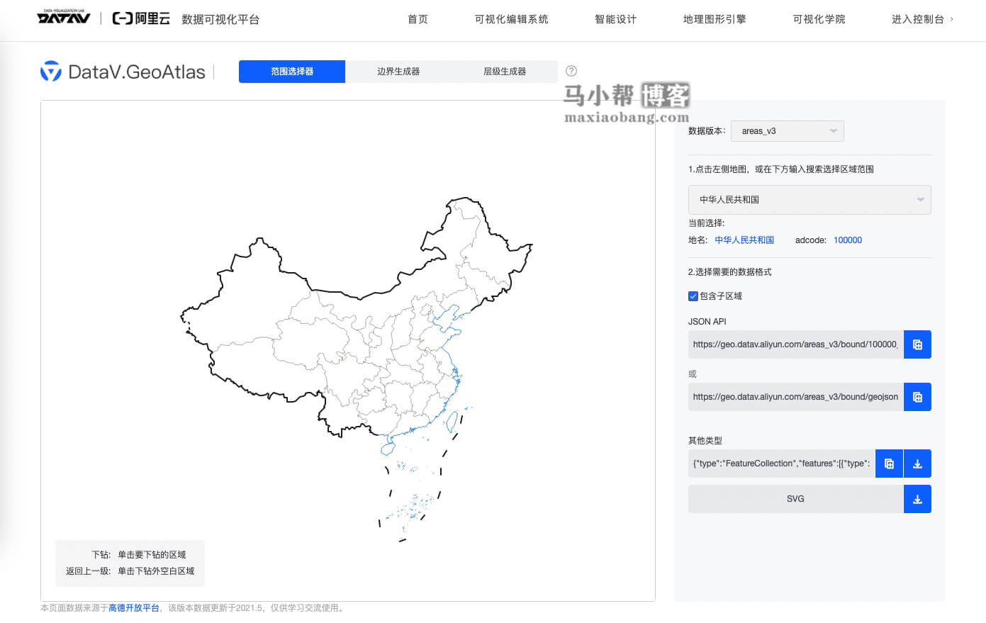
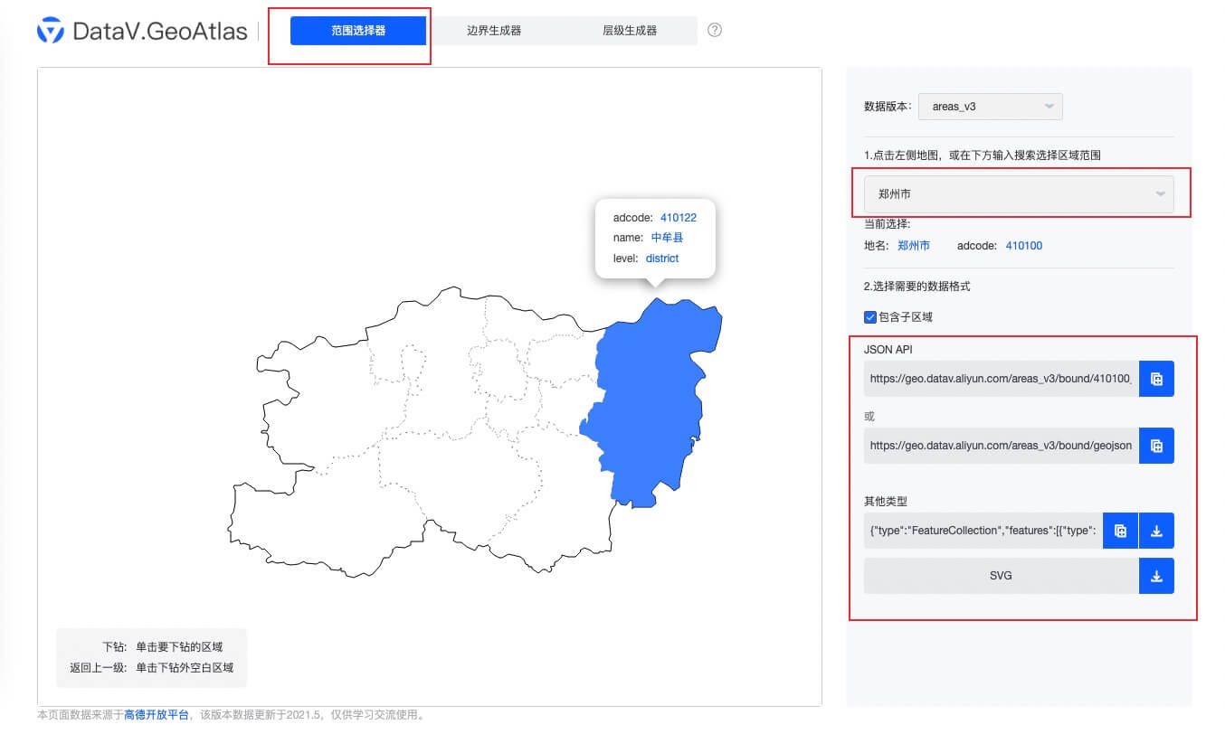
Range selector
The range selection can be precise down to the district or county level, and JSON APIs as well as SVG format materials are available for download. Enter the name of the province, city, or county whose map you wish to download in the search box; the corresponding map will appear on the left side. Click the download button next to the SVG icon to download the map.
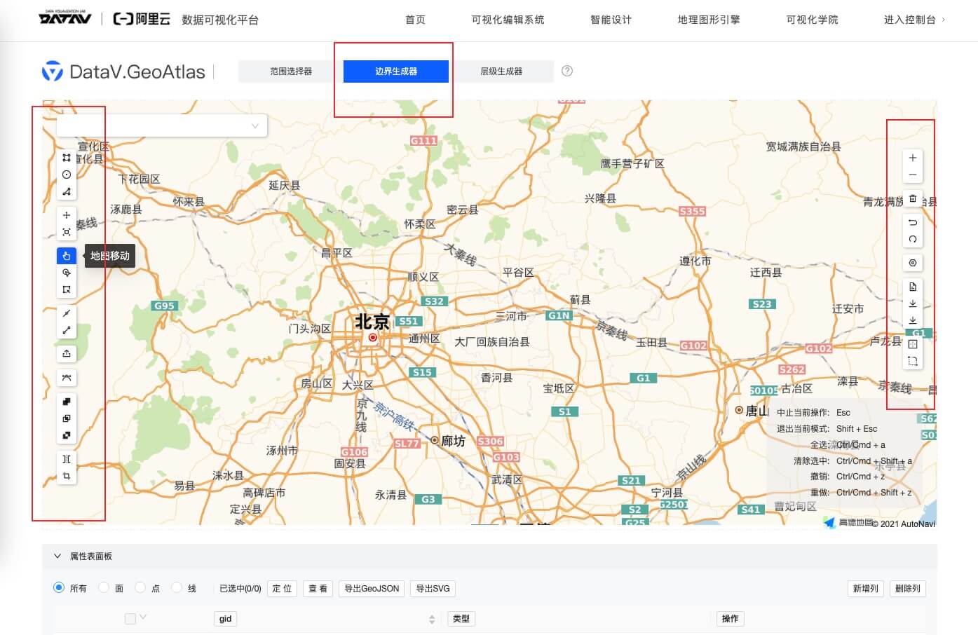
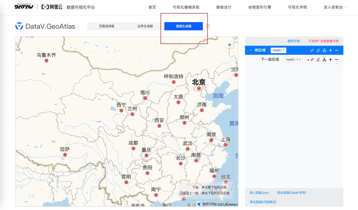
Boundary generator, hierarchy generator
The boundary generator and hierarchy generator can create customized map materials according to your requirements. „DataV.GeoAtlas“ utilizes data from Amap, ensuring a high level of map accuracy.
Below is the official tutorial for “DataV.GeoAtlas”. It provides detailed explanations, and if you have any questions about its functions, you can watch the tutorial videos.
Related